Design proposal for the Marion County website, not the official site. The official site is marioncounty.arkansas.gov.

The official website of

Marion County, Arkansas

County government for the communities of Yellville, Flippin, Bull Shoals, Pyatt and Summit.

County offices are open Monday to Friday, 8:00 a.m. to 4:30 p.m., at the Courthouse, 300 E. Old Main St., Yellville.

What do you need to do?

Five communities, one county seat

Marion County was created in 1836 and named for Revolutionary War Gen. Francis Marion. Yellville is the county seat; the county also serves Flippin, Bull Shoals, Pyatt and Summit.
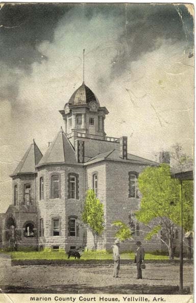
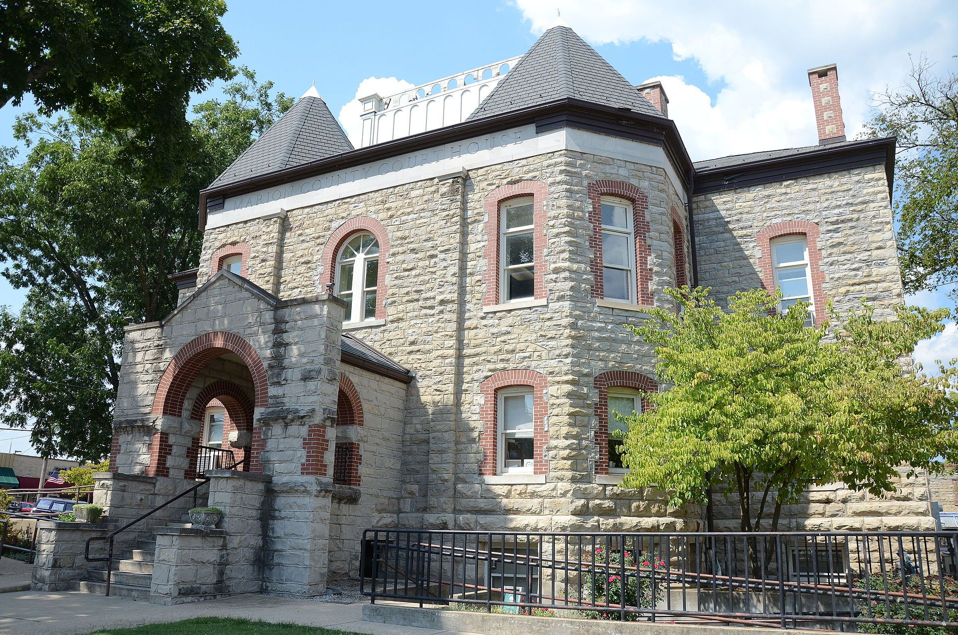
Hand-tinted postcard of the Marion County Courthouse in 1913, with a clock tower above the entrance.
The Courthouse on a 1913 postcard, when it still had its clock tower.

Mountains and waterways

The county covers 597 square miles of mostly rural Ozark mountains and waterways. Bull Shoals Lake, in the northern part of the county, covers 34,000 acres. The other major waterways are the White River, the Buffalo National River and Crooked Creek.

Created
1836
Area
597 sq. mi.
Population
16,664
Bull Shoals Lake
34,000 acres

Our major industries are tourism, boat building and other light industry.

Map of Marion County, Arkansas The county line, Bull Shoals Lake along the Missouri line, the White River on the east, the Buffalo National River in the south, Crooked Creek through Pyatt and Yellville, the main highways, and the five communities: Yellville (county seat), Summit, Flippin, Bull Shoals and Pyatt. 92°52′30″ 92°45′ 92°37′30″ 92°30′ 92°22′30″ 36°30′ 36°22′30″ 36°15′ 36°07′30″ Missouri Boone County Baxter County Searcy County 62 412 14 178 202 125 235 Bull Shoals Lake White River Crooked Creek Buffalo National River Buffalo River Pyatt Yellville Flippin Bull Shoals Summit 0 1 2 3 4 5 miles 0 4 8 kilometers Contour interval 100 feetContour interval 200 feet Heavier lines every 500 feet N
  • County seat
  • Town
  • U.S. highway
  • State highway
  • County line
  • Lake and rivers

Sources: county line, U.S. Census Bureau TIGER; elevation, USGS 3D Elevation Program; water, highways and towns, © OpenStreetMap contributors.

New job openings

No job openings at this time.

Job opening details, applications and other job openings in Marion County

Quorum Court

Meets the 2nd Tuesday of each month at 5:30 p.m. in the Courthouse courtroom. Meetings stream live on the county’s YouTube channel.

Offices and departments

Most county offices are in the Courthouse in Yellville. The numbers match the map of Yellville and Summit; Berry Street is marked in brown.
Map of Yellville showing three county office locations 1: the Courthouse on Old Main Street in Yellville. 2: the Command Center on Highway 62 west of Yellville. 3: the Transfer Station where Highway 62/412 meets Highway 202, west of Summit. Berry Street, home of the County Judge, runs north and south through Yellville. SummitYellvilleBerry St.Crooked CreekCourthouseCommand CenterTransfer Station624121420214 1 2 3
Yellville and Summit. Contour interval 40 feet. Sources: USGS 3D Elevation Program; streets, creeks and buildings © OpenStreetMap contributors.

Other helpful numbers

Other helpful links